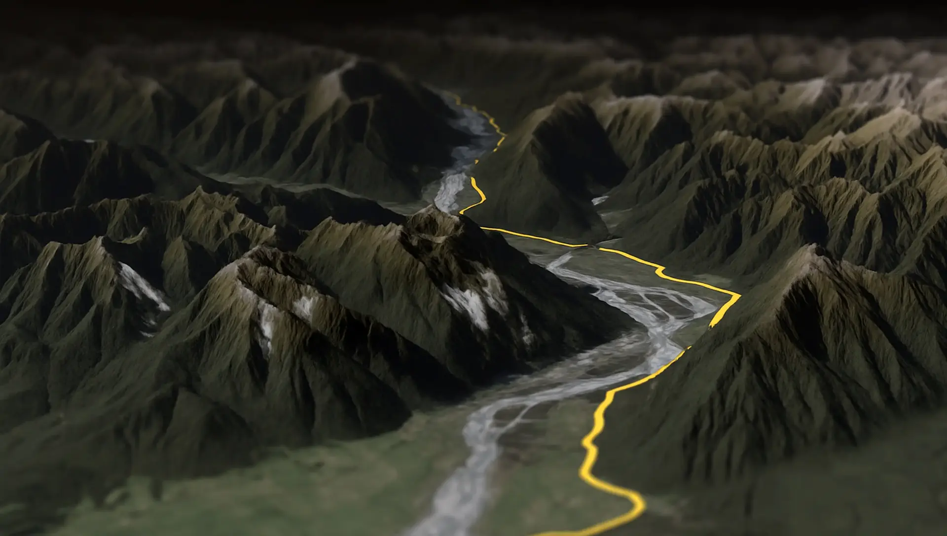
Splügen Pass to Italy 🇮🇹
The Splügen Pass connects Switzerland and Italy, linking Splügen with Chiavenna. At 2,113 meters (6,929 feet), it provides a direct route through the Alps, offering impressive views of the surrounding mountains and valleys.
Open a FIT file
and see what's inside.
Drop the .fit from your Garmin, Wahoo, COROS or Suunto. You get the outline of the track, the distance, where it starts and ends, and the numbers the device recorded: time, climb, heart rate, power, calories.
One click downloads the same activity as a GPX file, heart rate and cadence included. The file is read on your device.
 Free onlineFIT file viewer
Four steps, no software.
Drag the .fit onto this page or click Select FIT file. Files from Garmin, Wahoo, COROS, Suunto, Polar and Zwift work; the format is the same.
The page decodes the file on your device and shows the outline, the distance, the start and end, and the session numbers: time, climb, heart rate, power, calories.
Click Download GPX file. The track comes out with elevation and timestamps, plus heart rate, cadence, power and temperature as extensions Strava and Garmin understand.
Open 3D preview shows the same route on satellite terrain in the AvoMap editor, where you can render a video of it.
FIT stands for Flexible and Interoperable Data Transfer. Garmin designed it for watches and bike computers: a compact binary format that records a point every second with position, altitude, heart rate, cadence, power, temperature and whatever else the sensors provide, plus lap and session summaries. A one-hour ride is a few hundred kilobytes.
Because it is binary, a text editor shows garbage and most map tools refuse it. That is what this page is for: it decodes the file in your browser and shows you the ride.
Garmin: plug the watch or Edge into a computer and look in GARMIN/Activity, or open the activity in Garmin Connect, click the gear icon and choose Export Original. Wahoo: the ELEMNT app shares the .fit from the ride history. COROS and Suunto: export from the activity page in their apps.
Strava also exports the original file it received, which is usually a .fit: open the activity, click the three dots, Export Original.
GPX holds less than FIT. This is what makes the trip and what does not.
| Track | Every recorded point with a GPS position becomes a track point. Points without a position, from before the fix or an indoor stretch, are left out. |
|---|---|
| Elevation and time | Kept for every point. FIT timestamps are exact to the second, and the GPX keeps them, so Strava files the activity at the right time. |
| Heart rate, cadence, temperature | Kept, as Garmin TrackPointExtension tags. Strava, Garmin Connect and Komoot read them. |
| Power | Kept as a power tag in the extensions, the way Strava expects it. |
| Speed and distance per point | Not written. GPX readers work them out from position and time. |
| Laps | Shown on this page, not written to the GPX. GPX has no lap concept. |
| Session summary | Shown on this page. Calories, average power and the rest do not exist in GPX. |
| Developer fields, HRV, running dynamics | Dropped. |
Where the GPX goes once you have it.
Strava uploads FIT files directly, so you rarely need this for it. Convert when Strava rejects a file it cannot parse, or when you want to look at the ride first. The GPX carries the timestamps Strava needs and the heart rate and power it shows.
Komoot imports GPX, not FIT. Convert here, then upload the GPX under your tours as a completed tour, and it appears with the recorded date.
Google Earth opens KML, not FIT. Download the GPX here and run it through the GPX to KML converter, or open the GPX straight in Google Earth Pro on the desktop.
When a watch produced a file your platform chokes on, this page shows what is actually in it: how many points have positions, whether the heart rate strap connected, and where the session summary says you went.
Connect exports the original .fit and imports FIT and GPX alike. Use this page to check a file from another brand before importing it into Connect.
Same idea on every page: the file is read in your browser and nothing is uploaded unless you open the 3D preview.
KML in, GPX out, in your browser.
KMZ in, GPX out, in your browser.
GPX in, KML out, in your browser.
GPX in, KMZ out, in your browser.
KMZ in, KML out, in your browser.
KML in, KMZ out, in your browser.
KML in, a zipped shapefile out, for QGIS and ArcGIS.
KMZ in, a zipped shapefile out, for QGIS and ArcGIS.
Drop a zipped shapefile, get a KML for Google Earth.
Open a GPX and see the track, its length and where it starts and ends.
Open a KML or KMZ and see what is inside before you use it elsewhere.
Unzip a KMZ in the browser and see the paths and placemarks it holds.
Open a GeoJSON file and see its features drawn and measured.
The viewer shows you the outline. The AvoMap editor puts the same ride on satellite terrain, uses the elevation the device recorded so the road actually climbs, flies a camera along it and exports an MP4 in up to 4K.
The editor is free to use. You pay per exported video, and that pays for the free tools on this site.
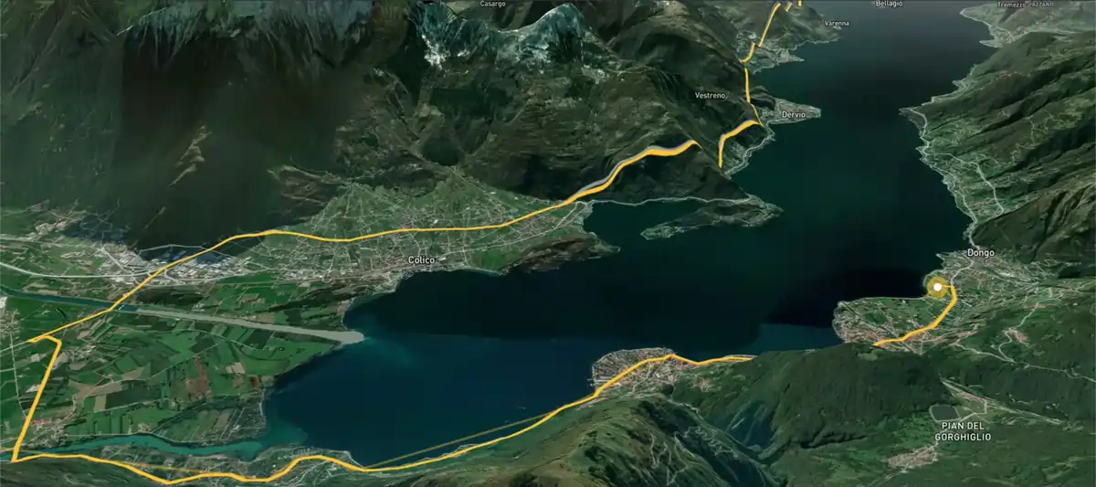
Explore the full range of AvoMap features in action with these videos, all created using the easy-to-use editor.
The Splügen Pass connects Switzerland and Italy, linking Splügen with Chiavenna. At 2,113 meters (6,929 feet), it provides a direct route through the Alps, offering impressive views of the surrounding mountains and valleys.
Taking a motorcycle trip through the Chilean desert, starting from Combarbala and heading to La Serena on the coast.
With a distance of 101 km and an elevation gain of 6,700 meters, the Eiger Ultra 101 is a tough challenge for even the most seasoned trail runners. The route includes stunning viewpoints such as Grosse Scheidegg, First, Bachalpsee, Berghotel Faulhorn, Schynige Platte, Wengen, Männlichen, and the base of the legendary Eiger North Face.
The Otter Trail is a five-day hiking route in South Africa, starting at Storms River Mouth Rest Camp and finishing at the small resort village of Natures Valley in the de Vasselot section of the park.
The Kepler Track is one of New Zealand's Great Walks, renowned for its stunning natural beauty and varied landscapes. It's a 60-kilometer (37-mile) circular hiking trail located in Fiordland National Park on the South Island of New Zealand. The track typically takes around 3 to 4 days to complete and passes through diverse terrain, including beech forests, alpine meadows, and alongside pristine lakes and rivers.
The Tahoe Rim Trail is a 170-mile long hiking path encircling the Lake Tahoe Basin in the Sierra Nevada, traversing parts of Nevada and California in the United States. It spans elevations from 6,223 feet at Lake Tahoe's outlet to 10,338 feet at Nevada's Relay Peak.
The Grand Raid de la Réunion, known as La diagonale des fous, is an ultramarathon held annually in October on Réunion island, a French overseas department located in the Indian Ocean between Madagascar and Mauritius.
As a break from my usual routine, I decided to embark on an epic journey by motorbike from Frankfurt to Dubai. It took me 62 days to complete the trip, and along the way I crossed through 11 different countries including France, Switzerland, Italy, Greece, Albania, North Macedonia, Bulgaria, Turkey, Georgia, Armenia and Iran.
The Zugspitz Ultratrail stands as Germany's premier trail running event. Drawing over 4400 participants, it features six distinct routes spanning from 16 to 106 kilometers in length.
The San Francisco Marathon is a renowned race featuring a full marathon, half marathon, and 5K. Held in late July, it navigates iconic landmarks like the Golden Gate Bridge and Fisherman's Wharf. The hilly terrain presents a challenge, but the stunning views and community support make it memorable.
Yes. Opening a file, the numbers, the GPX download and the 3D preview cost nothing, and there is no account to make. AvoMap charges for exported videos, and that pays for the free tools.
No. The file is decoded in your browser. Two things leave your device: the coordinates of the first and last point, looked up to show place names, and the whole route if you click Open 3D preview. The GPX download is written locally.
Drop the .fit here and click Download GPX file. The GPX has the track with elevation and timestamps, and heart rate, cadence, power and temperature as extensions.
Any device that writes a standard FIT activity: Garmin watches and Edge computers, Wahoo ELEMNT, COROS, Suunto, Polar, Bryton, Hammerhead, and exports from Zwift and Strava. Files that are not activities, such as workouts or courses, open but have no track to show.
The activity was recorded indoors, on a trainer or treadmill, or the device never got a fix. The session numbers are still decoded and shown, but there is no track to draw or export.
Yes. Heart rate, cadence and temperature go into Garmin TrackPointExtension tags and power into a power tag, which is what Strava and Garmin Connect read. Speed, distance and lap markers are not part of GPX and are shown on this page only.
Yes. Open this page in the browser on an iPhone or Android phone, pick the .fit from your files app, and the GPX lands in your downloads. Nothing to install.
Not yet. FIT is the more capable format, so most platforms accept GPX directly. Garmin Connect imports GPX as a course, and Strava as an activity if it has timestamps.